
Understanding the Oasis Montaj Software

Are you an earth scientist looking for a comprehensive mapping and processing software? Look no further than Oasis Montaj by Geosoft. This powerful tool is designed specifically for geoscience exploration and surveying, offering a wide range of functionalities to help you analyze and visualize your data effectively.
Oasis Montaj is capable of integrating, viewing, and comparing vast amounts of geophysical, geochemical, and geological data. It allows for rapid analysis, enabling you to solve problems and make informed decisions in a timely manner. The software includes various extension modules for geophysical and geochemical analysis, 3D borehole mapping, gravity and magnetic filtering, horizontal calibration, interpretation, and more.
With the help of extension modules developed by Geosoft’s technology partners, Oasis Montaj provides professional gravity and magnetic data processing and forward modeling within the Montaj platform. This allows earth scientists to input, view, process, and share their data effectively in a single environment. The software package includes built-in data input, processing, visualization, imaging, and integration capabilities, representing Geosoft’s complete range of basic and advanced grid applications and mapping functions.
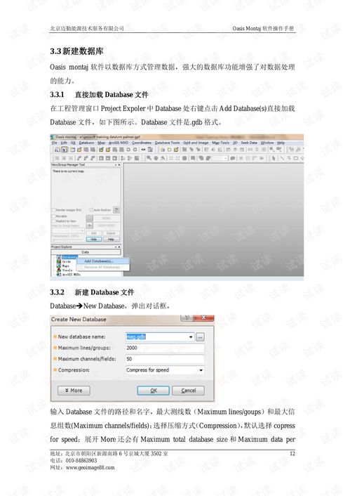
High-Performance Database and Fast Data Processing

Oasis Montaj boasts a high-performance database that can store massive amounts of data. You can view tables and complete profile displays within the database. This database can collect, save, process, and analyze large amounts of data at every stage of a project cycle, visualizing it and integrating it with other data and information.
The processing capabilities of Montaj allow users to apply various filters and processes to their data. It enables real-time evaluation and experimentation of the data, making it easy to merge data and open multiple profile windows simultaneously.
Features and Benefits of Oasis Montaj
Here are some of the key features and benefits of Oasis Montaj:
| Feature | Description |
|---|---|
| Comprehensive Data Integration | Oasis Montaj can integrate various types of data, including geophysical, geochemical, and geological data, into a single platform for easy analysis and visualization. |
| Advanced Mapping and Visualization | The software offers a wide range of mapping and visualization tools, including 3D visualization, contouring, and gridding, to help you understand your data better. |
| Customizable Workflows | Oasis Montaj allows you to create custom workflows to process and analyze your data according to your specific needs. |
| Collaboration and Sharing | The software supports collaboration and sharing of data and results with other users, making it easier to work as a team. |
Applications of Oasis Montaj
Oasis Montaj is widely used in various fields, including:
- Oil and gas exploration
- Mineral exploration
- Environmental studies
- Geological mapping
By using Oasis Montaj, earth scientists can gain valuable insights from their data, leading to better decision-making and more successful projects.
Conclusion
Oasis Montaj is a powerful and versatile software solution for earth scientists. With its comprehensive features and high-performance database, it can help you analyze and visualize your data effectively, leading to better decision-making and more successful projects. If you’re looking for a reliable and efficient tool to manage your earth science data, Oasis Montaj is definitely worth considering.


